Our team of experts combines innovative technology with a deep understanding of human perception to create immersive and informative visualizations. ESi is at the forefront of transforming complex data into compelling visual narratives that drive understanding, engagement, and decision-making.
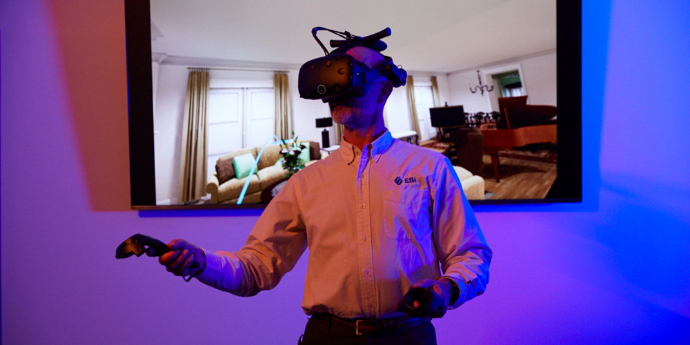
Through advanced data capturing methods like drone imagery, 3D FARO scanning, and computed tomography (CT), our skilled data analysts extract critical information from scenes and materials to craft dynamic 3D animations and interactive virtual reality experiences that convey important points clearly to your audience.
By partnering with ESi, you gain access to a comprehensive suite of visualization services, including data collection, analysis, and the creation of stunning visuals tailored to your specific needs. From showcasing products and services to visualizing complex processes, our team is dedicated to delivering exceptional visual experiences that leave a lasting impact.

Convey data in compelling ways with 3D animation

Daniel H. Kruger
Senior Managing Consultant
ESi Visualization Capabilities
- Heavy Machinery
- Aviation Accidents
- Building and Structural Collapse
- Commercial Trucking Accidents
- Component and Systems Failure
- Construction Site Incidents
- Fire and Explosion Investigation
- Geologic Hazards
- Industrial Machinery
- Lawn and Landscaping Equipment
- Manufacturing Safety
- Medical Devices
- Personal Injury Liability
- Power and Utilities Infrastructure
- Product Liability
- Recreational Products
- Structural Collapse
- Train Derailments
- Vehicle Accidents